
DFIRM - Digital Flood Insurance Maps and Information
Effective fall 2009 the final new Flood Insurance Rate Maps(DFIRM) are available for digital viewing. Milford's DFIRMs are listed below, along with the Flood Insurance Rate Study. All of these files are very large so please be patient when downloading. Paper copies of the maps are available in the Community Development and Assessing offices.
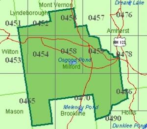
Flood Maps by Tile Number
0451 0452 0453 0454 0456 0457 0458 0459 0470 0478 0486
Flood Insurance Study Document (5 Volumes)
Volume 1 Volume 2 Volume 3 Volume 4 Volume 5