
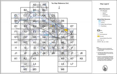
2017 Tax Maps
The Town of Milford moved to a new Tax Map format in 2009 to allow for a uniform scale across all the maps of 1" = 300'. The Map and Lot numbers of individual lots have not changed. All maps are in PDF form. For a CD of the Tax Maps please contact the Assessing Department.
The data displayed on tax maps are a public resource of general information. The Town of Milford makes no warranty, representation or guaranty as to the content, accuracy, timeliness or completeness of any of the mapped information provided herein. The data is not intended to be used as a substitute for an on-site survey performed by a licensed surveyor.
The Town of Milford shall assume no liability for: (1) Any errors, omissions or inaccuracies in the information provided regardless how caused; or (2) Any decisions made or actions taken or not taken by the user in reliance upon any information or data furnished.
The 2016 Tax Maps were produced by the Department of Community Development in conjunction with the Assessing Department and CAI Technologies.
When printing the Tax Maps select FIT for the size option before you print.
TIP - Locate Town Roads via the Town Roads & Grid Numbers link below then open coresponding Tax Map